MAP-BASED COMMUNITY ENGAGEMENT
Collect public feedback on a map. Get it into ArcGIS.
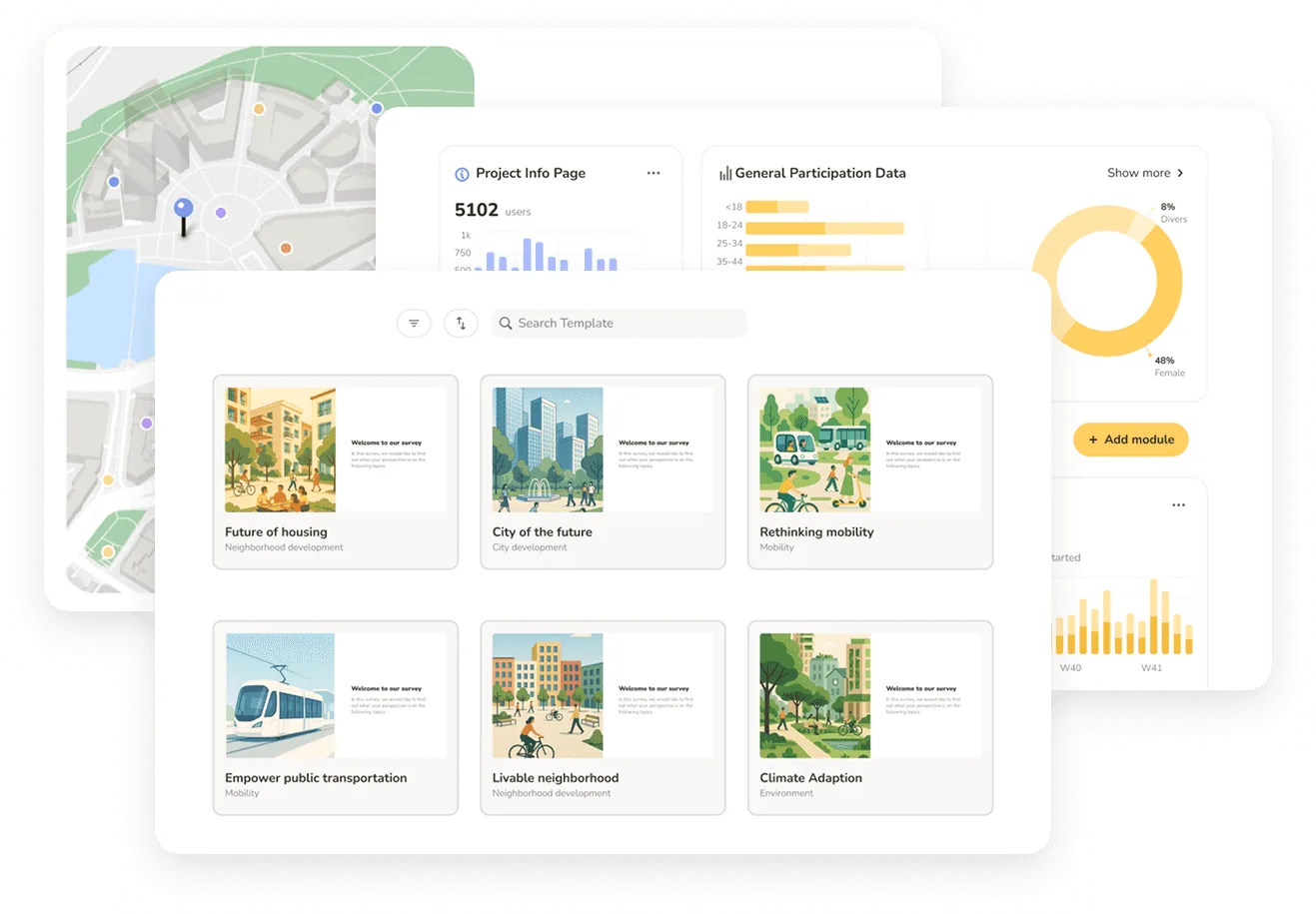
Senf collects community feedback directly on a map, and the results land in ArcGIS. Participants drop pins, draw routes and outline areas in any browser, without GIS training or an account. Every response arrives already geolocated, so the manual geocoding step disappears — export as GeoJSON or Shapefile, or sync live to ArcGIS Online while the survey is still running.
Open Comment Map
Pin, line, or area contributions with comments and likes. Open-ended and location-first.
Surveys with spatial questions
14 question types, three of them spatial. Rating, ranking, budgeting – and "draw the route."
GIS-ready export
Heatmaps by mode and demographic. Shapefile and GeoJSON export. No manual geocoding.
MAP-BASED COMMUNITY ENGAGEMENT
Collect public feedback on a map. Get it into ArcGIS.
Senf collects community feedback directly on a map, and the results land in ArcGIS. Participants drop pins, draw routes and outline areas in any browser, without GIS training or an account. Every response arrives already geolocated, so the manual geocoding step disappears — export as GeoJSON or Shapefile, or sync live to ArcGIS Online while the survey is still running.
Open Comment Map
Pin, line, or area contributions with comments and likes. Open-ended and location-first.
Surveys with spatial questions
14 question types, three of them spatial. Rating, ranking, budgeting – and "draw the route."
GIS-ready export
Heatmaps by mode and demographic. Shapefile and GeoJSON export. No manual geocoding.
MAP-BASED COMMUNITY ENGAGEMENT
Collect public feedback on a map. Get it into ArcGIS.
Senf collects community feedback directly on a map, and the results land in ArcGIS. Participants drop pins, draw routes and outline areas in any browser, without GIS training or an account. Every response arrives already geolocated, so the manual geocoding step disappears — export as GeoJSON or Shapefile, or sync live to ArcGIS Online while the survey is still running.
Open Comment Map
Pin, line, or area contributions with comments and likes. Open-ended and location-first.
Surveys with spatial questions
14 question types, three of them spatial. Rating, ranking, budgeting – and "draw the route."
GIS-ready export
Heatmaps by mode and demographic. Shapefile and GeoJSON export. No manual geocoding.
Open input, anchored to locations.
Participants drop points, draw lines, or define areas, with comments and likes on each contribution. Multilingual input and auto-translation built in.
Every question type. Including spatial.
Three spatial question types - points, lines, areas - alongside rating, ranking, participatory budgeting, image choice, matrix, and conditional logic. Fourteen types in one survey.
Drop pins on a site plan.
Upload a site plan or design concept. Participants annotate directly on the image, pin by pin. The strongest tool for park redesign, urban design, and site-specific feedback.
Heatmaps by mode and demographic filter. Export as Shapefile or GeoJSON - straight into ArcGIS or QGIS. The step of manual geocoding disappears.
Open input, anchored to locations.
Participants drop points, draw lines, or define areas, with comments and likes on each contribution. Multilingual input and auto-translation built in.
Every question type. Including spatial.
Three spatial question types - points, lines, areas - alongside rating, ranking, participatory budgeting, image choice, matrix, and conditional logic. Fourteen types in one survey.
Drop pins on a site plan.
Upload a site plan or design concept. Participants annotate directly on the image, pin by pin. The strongest tool for park redesign, urban design, and site-specific feedback.
Heatmaps by mode and demographic filter. Export as Shapefile or GeoJSON - straight into ArcGIS or QGIS. The step of manual geocoding disappears.
Open input, anchored to locations.
Participants drop points, draw lines, or define areas, with comments and likes on each contribution. Multilingual input and auto-translation built in.
Every question type. Including spatial.
Three spatial question types - points, lines, areas - alongside rating, ranking, participatory budgeting, image choice, matrix, and conditional logic. Fourteen types in one survey.
Drop pins on a site plan.
Upload a site plan or design concept. Participants annotate directly on the image, pin by pin. The strongest tool for park redesign, urban design, and site-specific feedback.
Heatmaps by mode and demographic filter. Export as Shapefile or GeoJSON - straight into ArcGIS or QGIS. The step of manual geocoding disappears.

"Including Senf in our proposals has become a real competitive advantage. It signals innovation to clients – and it wins projects."
Brian Reetz
Principal, Design Collective
"Including Senf in our proposals has become a real competitive advantage. It signals innovation to clients – and it wins projects."
Brian Reetz
Principal, Design Collective
"Including Senf in our proposals has become a real competitive advantage. It signals innovation to clients – and it wins projects."
Brian Reetz
Principal, Design Collective