What is a community engagement platform for planning firms?
The definition, what it does, who it's for, and how a private-sector planning firm should choose one.
Last updated · July 2026

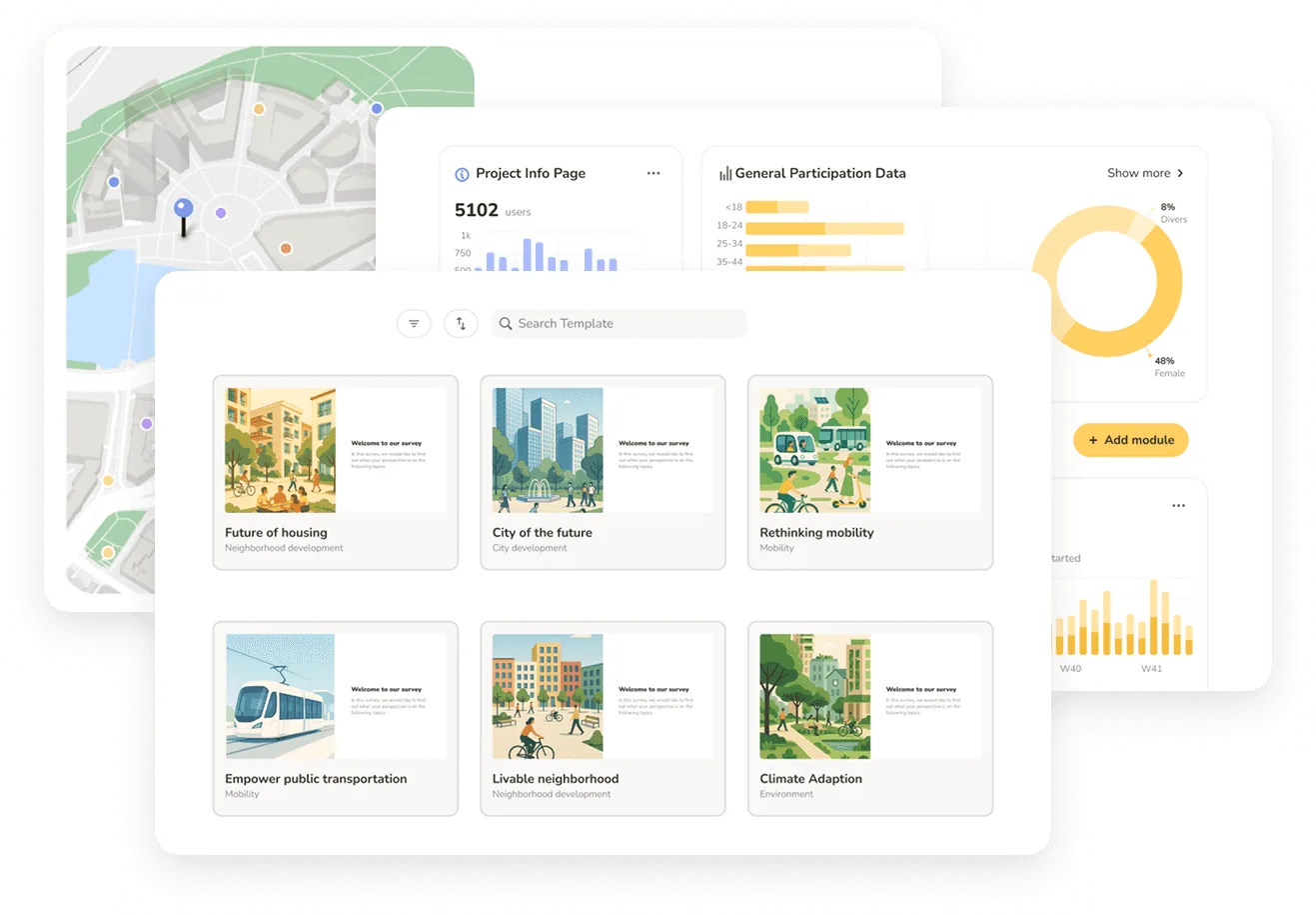
A community engagement platform for planning firms is software that lets a private-sector planning, design, or engineering consultancy run a public participation process end to end — publishing a project website, collecting map-based and open-text input from residents, analyzing the responses, and producing a client-ready report — inside one system. Unlike government-procurement engagement tools or generic survey software, it is built around the project-based, proposal-driven way consultancies actually work: many concurrent projects, teams that rotate across engagements, and deliverables a client signs off on.
The rest of this page defines the category precisely: the functions such a platform performs, who it is built for, how it differs from the adjacent tools firms already own, and a practical checklist for choosing one.
What a community engagement platform does
A full platform covers four stages of a public engagement process, in one place:
1. Inform — a project website
A branded, project-specific site that gives residents the context of the project: scope, timeline, maps, FAQs, and updates. This replaces the ad-hoc microsite or PDF that firms otherwise build by hand for every engagement.
2. Collect — map-based and open-text input
The defining capability is spatial input: residents drop point comments, draw routes, or mark areas on an interactive map, alongside surveys and open-text responses. Location-aware feedback is what distinguishes a community engagement platform from a generic survey tool, because planning decisions are inherently spatial.
3. Analyze — turning responses into themes
Once the comment period closes, the platform helps convert hundreds or thousands of open-text responses into consistent, traceable themes. This is where AI-native platforms differ sharply from older tools: analysis runs inside the platform rather than through a manual export-to-Excel-and-code cycle.
4. Report — client-ready output and GIS handoff
The final stage produces a defensible summary a client or decision-maker can act on — charts, theme breakdowns, and map visualizations — plus GIS-compatible exports (GeoJSON, Shapefile) so the spatial data feeds downstream ArcGIS or QGIS workflows.
Who it's for: consultancies, not municipalities
This is the distinction that matters most and the one most category definitions blur. The public-sector engagement market — municipalities, counties, DOTs, and MPOs — buys engagement software directly for a single, long-running program, and the leading tools are built for that buyer's procurement cycle and user model.
A community engagement platform for planning firms serves the opposite operating shape: a private-sector consultancy delivering engagement as part of project contracts. That means many projects running at once, project managers cycling on and off engagements, an irregular pipeline, and a client who owns the outcome. The typical firm is an urban planning, transportation, landscape architecture, land development, or architecture consultancy of roughly 10–500 people.
How it differs from the tools firms already own
vs. survey tools (SurveyMonkey, Google Forms, Qualtrics)
Generic survey tools cannot collect spatial input and have no engagement-specific analysis. A community engagement platform is built around map-based participation and open-text analysis, not just multiple-choice questions.
vs. GIS software (ArcGIS, QGIS)
GIS systems are for analyzing spatial data your team already holds; they are not built to collect public input from residents or to run a participation process. A community engagement platform complements GIS — it gathers the public spatial input and exports it into GIS formats — rather than replacing it.
vs. government engagement platforms
Municipal-procurement platforms are designed for a city or agency running one ongoing program, often with per-seat or per-project caps and manual analysis. For a consultancy running a portfolio of short, overlapping projects, that user model produces friction on every new engagement.
How to choose a community engagement platform
For a planning firm evaluating options, five questions separate the right fit from the wrong one:
Is it built for consultancies or for government?
Check the user and licensing model. Per-project user caps and per-seat pricing signal a tool built for a single institutional program, not a firm running many projects with rotating teams.
Does it collect true spatial input?
Point comments, route drawing, and polygon feedback should be native — not a bolt-on. Spatial input is the core of planning engagement.
Is analysis native, or an export-and-code workaround?
The costliest step is turning open-text into themes. A platform with built-in AI analysis removes the manual Excel-plus-LLM cycle many firms fall into; one without it just moves the bottleneck downstream.
Does it export cleanly to GIS?
Confirm GeoJSON and Shapefile export so public input feeds directly into ArcGIS or QGIS without manual geocoding.
How fast can you launch a project?
For proposal-driven firms, setup speed is a competitive factor: the ability to stand up a project-specific engagement concept quickly enough to include it in an RFP response is worth more than depth of configuration no one has time to use.
Where Senf fits
Senf is an AI-native community engagement platform built specifically for private-sector planning, design, and engineering consultancies. It combines a project website, map-based public input, native AI comment analysis, multilingual participation, and client-ready reporting in one end-to-end workflow — and it can generate a live, project-specific engagement platform from an uploaded RFP in minutes, which firms include in proposal responses to demonstrate methodology rather than describe it. Senf is used by 100+ planning firms across 250+ projects, has gathered 400,000+ participant contributions, and holds 94% client retention.
If your firm is evaluating platforms, the demo below walks through setup, engagement, and analysis end to end on a scenario relevant to your work.
Frequently asked
What is a community engagement platform?
A community engagement platform is software for running a public participation process end to end — informing residents through a project website, collecting map-based and open-text input, analyzing the responses, and producing a report. For planning firms specifically, it is built around project-based consulting work rather than a single government program.
How is it different from a survey tool like SurveyMonkey?
Survey tools collect multiple-choice and text responses but cannot capture spatial input — where on a map a comment applies — and have no engagement-specific analysis. A community engagement platform is built around map-based participation and open-text theme analysis.
How is it different from GIS software like ArcGIS?
GIS software analyzes spatial data a team already holds; it does not collect public input or run a participation process. A community engagement platform gathers public spatial input and exports it into GIS formats, complementing ArcGIS or QGIS rather than replacing them.
Do planning firms need a different platform than municipalities?
Usually yes. Municipal platforms are built for a single, long-running program with institutional procurement and often per-seat or per-project caps. Consultancies run many short, overlapping projects with rotating teams, so they need unlimited team access, shared templates, and fast per-project setup.
What should a planning firm look for when choosing one?
Five things: whether it is built for consultancies or government, whether spatial input is native, whether analysis is built in rather than an export-and-code workaround, whether it exports cleanly to GIS, and how fast a project can be launched.
How much does a community engagement platform cost?
Pricing models vary. Government-oriented tools typically use annual contracts with project allotments, and several don't publish prices. Senf uses transparent, consulting-friendly pricing: a free tier for building engagement concepts into proposals, a Project License starting at $2,500 per project and an Annual License starting at $9,990 per year — all with unlimited users.