Maptionnaire vs. Senf
Maptionnaire vs. Senf: which community engagement platform fits a private-sector planning firm
Both platforms let planning teams collect spatial input from communities online, and both serve private-sector planning, design, and engineering consultancies. The structural difference isn't audience — it's scope. Maptionnaire is a spatial survey platform with strong GIS heritage, built around the map-based survey as the unit of work. Senf is a consulting workflow platform that includes spatial surveys as one module alongside AI analysis, client-ready reporting, and template-driven project setup. The rest of this piece explains what that difference produces in practice, and where each platform genuinely wins.
This is for firms currently using Maptionnaire and evaluating whether to switch, or evaluating Maptionnaire alongside other options for the first time.
Quick comparison
Both platforms are credible. The differences below shape how each fits a consulting-firm workflow rather than how each performs in isolation. Pricing figures should be confirmed with the vendor directly during evaluation.
Maptionnaire | Senf | |
|---|---|---|
Built around | The map-based survey as the core unit | The consulting project as the core unit |
Pricing model | Hybrid: subscription plus per-survey charges | Project licence (single project) or annual licence (unlimited projects) |
User experience | Rewards GIS expertise; setup is configuration-heavy | Built for project managers; template-driven setup |
AI analysis | Recently added to the dashboard | Native AI categorisation, sentiment, theme extraction inside the workflow |
Map capability | Deep spatial survey tooling, GIS-backed | Map-based engagement plus spatial export to GIS |
Project workflow | Survey creation, separate analysis and reporting | Templates, project hub, end-to-end workflow |
Output | Survey data, exported for assembly | Client-ready dashboards and reports built in |
How Senf and Maptionnaire differ on scope and user model
Maptionnaire was built as a map-based survey platform. The product's centre of gravity is the survey itself — sophisticated spatial input, GIS-backed data collection, the technical depth of the map module. A planner with ArcGIS fluency and time to configure the platform properly can get powerful results from it.
Senf was built as a consulting workflow platform. Spatial surveys are one module among several. The product's centre of gravity is the project — setup templates for common project types, an AI analysis layer that operates on collected data, a reporting layer that produces client-ready output, a project hub that ties the engagement to the firm's brand and to the client's deliverable. Surveys are a means; the project is the end.
The implication for the user is the bigger split. Maptionnaire's surface area assumes a technically fluent operator — someone who treats the engagement platform as part of the GIS toolchain. Setup is configuration-heavy, the interface rewards expertise, and the platform tilts toward firms with dedicated technical leads. Senf's surface area assumes a project manager working under fixed-fee constraints. Setup is template-driven, the interface rewards consistency across projects, and the platform tilts toward firms where engagement work is distributed across a team rather than concentrated in one technical specialist.
Neither model is wrong. They're different design choices for different operating shapes. When a consulting firm has one bilingual, GIS-fluent staff member who handles all spatial work, Maptionnaire fits that person's strengths. When the same firm grows past the point where engagement bottlenecks on that one person, the workflow model breaks before the survey tool does.
AI analysis: a recent addition versus a built-in workflow
Maptionnaire added AI analytics to its dashboard recently. It's a real capability and worth acknowledging up front — the comparison isn't whether AI exists but how deeply it's integrated into the workflow.
Senf was built with AI categorisation, sentiment analysis, and theme extraction as native modules from the start. Analysis runs on the comment data inside the project, surfaces themes as collection happens, and feeds directly into the reporting layer. AI added to an existing platform tends to sit alongside the workflow rather than inside it. Whether that distinction matters in practice depends on what happens after the analysis produces categories.
The practical test for a consulting firm: does the AI produce a categorised dataset you then export and assemble into a deliverable, or does it produce client-ready output that drops into the project deliverable directly? Design Collective described their pre-Senf synthesis time:
"We would be taking one to two days depending on how much data we had and synthesising it. Almost up to a week sometimes."
That synthesis cost is what AI analysis is supposed to reduce, and it's where the depth of integration matters most. Senf clients see a 70–90% reduction in analysis time on projects with 1,000-plus open-text responses compared to their previous workflows. Alexandra Albert at YPMO, who has worked across every major platform in this category over twelve years, put it directly: "The AI categorisation is the coolest I've seen in any platform." Her judgement carries weight because she's used the alternatives.
For a Platform-Experienced firm currently running Maptionnaire, this is usually the section that decides the question. The recent AI addition is a step forward; whether it closes the synthesis gap is the test to run during evaluation.
Pricing models and what changes at different project scales
Maptionnaire's pricing model is hybrid: a subscription tier plus per-survey charges on top. The unit being metered is the survey, not the project. A comprehensive plan with three engagement phases is three surveys. A transportation corridor study with parallel input collection across modes is potentially several surveys inside one project. The subscription buys access; the surveys are billed on top.
Senf offers two licence options that map to different operating scales. A project licence covers one project with unlimited surveys, maps, and modules inside it — a fixed cost regardless of how many engagement phases the project contains. An annual licence covers unlimited projects with everything unlimited inside each. The unit being metered is the project (or the year), not the individual survey.
The practical difference shows up at both scales. For a firm running a single complex engagement project across multiple phases, the Senf project licence costs the same whether the engagement has two surveys or twelve; Maptionnaire's per-survey charges accumulate as the project adds modules. For a firm running a portfolio of projects across the year, the Senf annual licence is one predictable cost; Maptionnaire's subscription plus per-survey volume scales on two axes simultaneously.
A BD principal at Landmark Design described what variable-unit pricing produces on consulting work:
"Sometimes we end up not using all our allotments, other times we need to add more and then it gets really pricey really fast."
The same pattern applies whether the variable unit is a project or a survey. On fixed-fee contracts, every unplanned allotment is non-billable, every unused one is a write-off, and budgets become harder to forecast at scope. Per-survey pricing isn't inherently worse than fixed licensing — for a firm running few large surveys infrequently, the hybrid model might cost less. It fits a different operating shape than most consulting firms actually run.
When Maptionnaire is the better fit
Maptionnaire wins for firms whose primary need is the map-based survey itself and who have the GIS expertise on staff to operate the platform well. If a firm has a dedicated technical lead who treats the engagement platform as part of the GIS toolchain, the configuration depth becomes an advantage rather than overhead. Sophisticated spatial input capability is real, and Maptionnaire's heritage in that space is genuine.
It's also the better choice for firms running few, large surveys rather than portfolios of small ones. When the survey count per year is low and the surveys themselves are substantial, the hybrid pricing model can land lower than a fixed licence; the team's GIS specialist absorbs the setup time, and the analysis happens in a workflow the firm has already built around exported survey data.
If an existing analysis and reporting workflow is producing client-ready output the firm is happy with, swapping out the front end alone doesn't justify the switching cost. The case for Senf is workflow consolidation; without workflow pain, the case is weaker.
When Senf is the better fit
Senf is built for the consulting-firm operating model where engagement work is distributed across a team rather than concentrated in a technical specialist, where the pipeline is irregular and per-survey pricing accumulates, and where the actual constraint is analysis and reporting time rather than data collection sophistication.
Design Collective uses Senf as part of how the firm wins work. Brian Reetz, Principal at Design Collective:
"Including Senf in our proposals has become a real competitive advantage for Design Collective. It signals innovation to clients — and it wins projects."
For a Mid-Atlantic firm competing in proposal-heavy markets, the platform isn't just an engagement tool — it's part of the differentiation story when bidding.
McKenna runs engagement across dozens of active Michigan municipal projects simultaneously. The platform's value at that scale is the analysis layer: thousands of open-text responses moving from collection through categorisation to reporting without the Excel-plus-AI workaround that most consulting firms have quietly built around their existing tools.
Bohler Engineering operates Senf at a different scale entirely: a 500-to-1,000-person land development firm with 43 US offices, using the platform to produce structured community-support documentation for planning commission reviews. The use case is downstream of comprehensive planning — entitlement support — and the platform fits because the firm's pain is documentation rigor at volume.
The pattern across all three: firms whose constraint is workflow rather than survey sophistication. That's the audience Senf was built for.
Frequently asked
How much does Maptionnaire cost?
Maptionnaire's pricing is hybrid: a subscription tier plus per-survey charges. The total depends on subscription level and how many surveys a firm runs across the year. Request a current quote directly when evaluating. For comparison, Senf offers a single-project licence with unlimited surveys inside it, or an annual licence with unlimited projects — different unit, different scaling behaviour.
Does Maptionnaire have AI analysis?
Yes, recently added to the dashboard. The structural question is depth of integration rather than presence. During evaluation, the practical test is whether the AI produces a categorised dataset you then export and assemble, or whether it produces output that lands directly in the project deliverable.
Can Senf handle the kinds of spatial surveys Maptionnaire does?
Yes. Point feedback, route drawing, polygon input, image overlay, photo submissions, and idea boards are all native. Spatial data exports to standard GIS formats and lands cleanly in ArcGIS or QGIS workflows.
We have a GIS expert who likes Maptionnaire. Should we switch?
If your team is concentrated around that expert and the platform is producing good results, the case for switching is weaker — you already have the workflow that fits your operating shape. If the rest of the team can't operate the platform without that person, or if the analysis and reporting work bottlenecks elsewhere, the case is stronger. The honest answer depends on whether the constraint is survey capability or workflow distribution.
What about multilingual engagement?
Both platforms support multilingual engagement. Senf includes auto-translation as a native module, which matters for firms running engagement in regions where multiple languages need to be supported without manual translation overhead.
How long does it take to set up a project compared to Maptionnaire?
Senf's setup is template-driven — common project types (corridor studies, comprehensive plans, master plans, public space redesigns) have starting templates that a project manager can configure without GIS expertise. RFP-to-platform setup runs in minutes rather than days. Maptionnaire's setup is configuration-heavy by design; teams with GIS expertise on staff absorb that time, teams without it feel it.
See Senf in action
• Walk through a project scenario relevant to you
• See setup, engagement, and analysis end to end
• Discuss pricing based on your project volume
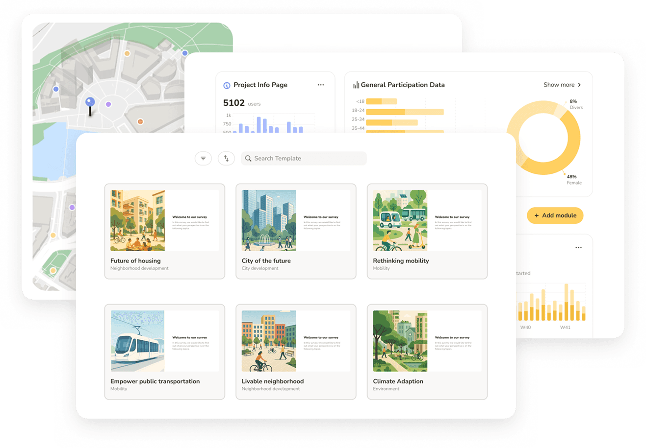
See Senf in action
• Walk through a project scenario relevant to you
• See setup, engagement, and analysis end to end
• Discuss pricing based on your project volume
See Senf in action
• Walk through a project scenario relevant to you
• See setup, engagement, and analysis end to end
• Discuss pricing based on your project volume